Papeles:Ocean City Maryland aerial view north.jpg
Kadakkel daytoy a panagipadas: 800 × 534 dagiti piksel. Sabali kadagiti resolusion: 320 × 214 dagiti piksel | 640 × 427 dagiti piksel | 1,024 × 683 dagiti piksel | 1,500 × 1,001 dagiti piksel.
Kasisigud a papeles (1,500 × 1,001 dagiti piksel, kadakkel ti papeles: 753 KB, kita ti MIME: image/jpeg)
| Daytoy ket papeles a nagtaud manipud idiay Wikimedia Commons. Ti pakaammo manipud iti bukodna a deskripsion a panid idiay ket naiparang dita baba. Ti Commons ket repositorio dagiti nawaya a nalisensiaan a midia. Mabalinmo ti tumulong. |
| Deskripsion |
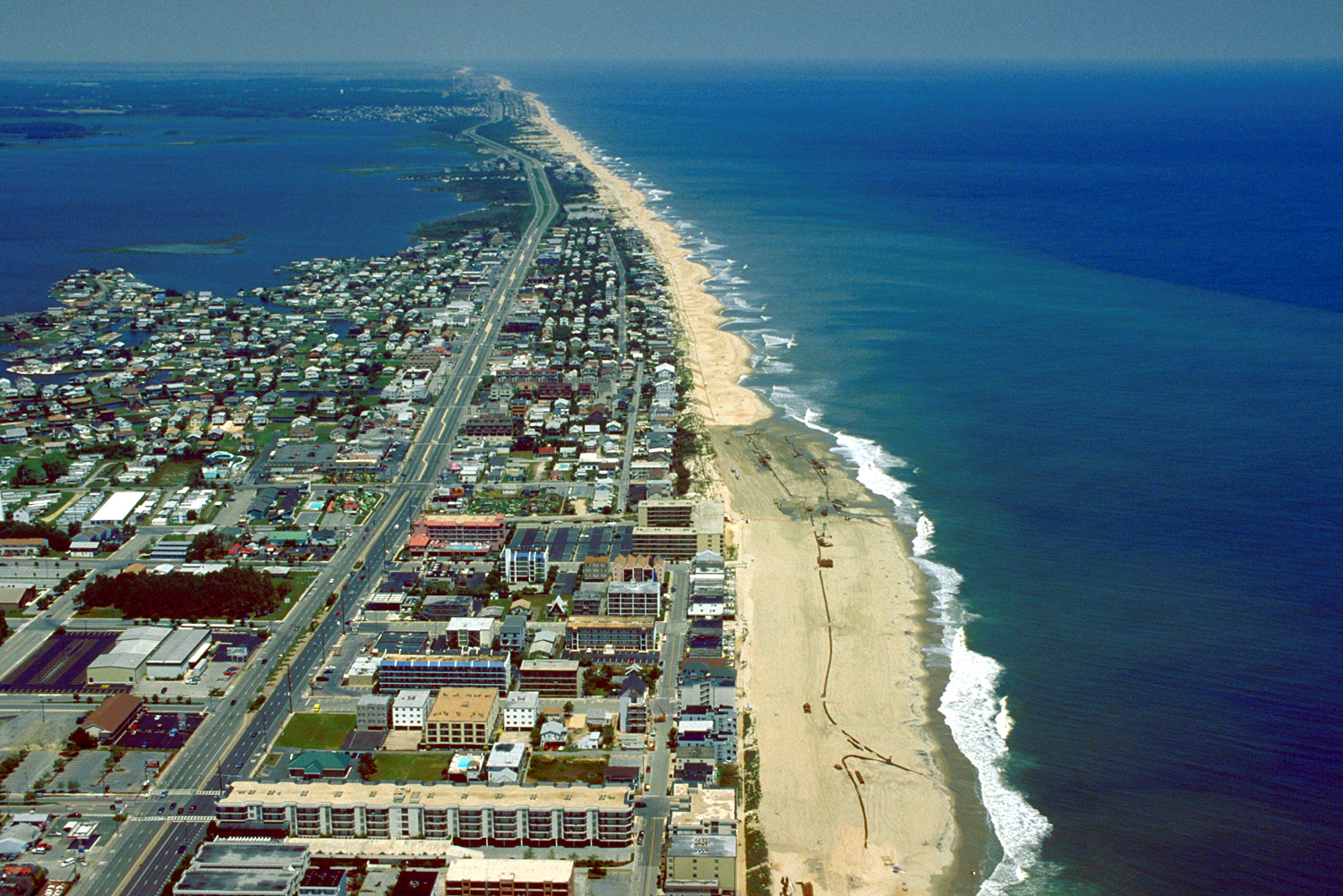
English: Aerial view of Ocean City, Maryland, USA. View is to the north-northeast. |
|||
| Petsa | ||||
| Taudan |
U.S. Army Corps of Engineers Digital Visual Library Image page Image description page Digital Visual Library home page |
|||
| Mannurat | Tex Jobe, U.S. Army Corps of Engineers | |||
| Pammalubos (Ti panagusar manen iti daytoy a papeles) |
|
|||
| Location | Ocean City, Maryland, USA |
| Camera location | | View this and other nearby images on: OpenStreetMap |
|---|
Pakasaritaan ti papeles
Pinduten iti petsa/oras tapno makita ti papeles a kas naiparang iti dayta a panawen.
| Petsa/Oras | Bassit a ladawan | Dagiti rukod | Agar-aramat | Komentario | |
|---|---|---|---|---|---|
| agdama | 01:10, 8 Abril 2007 | | 1,500 × 1,001 (753 KB) | DanMS | {{Information | Description = {{en|Aerial view of Ocean City, Maryland, USA. View is to the north-northeast.}} | Source = U.S. Army Corps of Engineers Digital Visual Library<br />[http://images.usace.army.mil/images/Hires/0454-12.Jpg Image page |
Panagusar iti papeles
Ti sumaganad a panid ket agus-usar iti daytoy a papeles:
Global a panagusar ti papeles
Dagiti sumaganad a wiki ket agus-usar iti daytoy a papeles:
- Panagusar idiay ar.wikipedia.org
- Panagusar idiay bg.wikipedia.org
- Panagusar idiay bo.wikipedia.org
- Panagusar idiay ca.wikipedia.org
- Panagusar idiay de.wikipedia.org
- Panagusar idiay en.wikipedia.org
- Panagusar idiay es.wikipedia.org
- Panagusar idiay fa.wikipedia.org
- Panagusar idiay fr.wikipedia.org
- Panagusar idiay hak.wikipedia.org
- Panagusar idiay hi.wikipedia.org
- Panagusar idiay hu.wikipedia.org
- Panagusar idiay is.wikipedia.org
- Panagusar idiay it.wikipedia.org
- Panagusar idiay ja.wikipedia.org
- Panagusar idiay kn.wikipedia.org
- Panagusar idiay pam.wikipedia.org
- Panagusar idiay pl.wikipedia.org
- Panagusar idiay pt.wikipedia.org
- Panagusar idiay tr.wikipedia.org
- Panagusar idiay ur.wikipedia.org
- Panagusar idiay zh.wikipedia.org